GEOTECHNICAL ENGINEERING1
GLOUCESTER
HomeInvestigationSPT (Standard Penetration Test)

Standard Penetration Testing (SPT) in Gloucester: Reliable Subsurface Data for Geotechnical Design

Practical geotechnics, field-tested.

LEARN MORE

Gloucester sits on a complex patchwork of Lias Clay, river terrace gravels, and alluvium along the Severn floodplain, where ground conditions can shift from competent limestone to soft organic silts within a single site. The Standard Penetration Test remains the most practical way to map these transitions without mobilising a full drilling rig on cramped urban plots near the docks or out towards Quedgeley. In our experience, a well-executed SPT programme to BS 5930:2015 gives the design team exactly what it needs: N-values correlated to relative density, an indication of consistency in cohesive layers, and disturbed samples for visual logging and index testing. When the borehole passes through the Charmouth Mudstone Formation, we often see SPT refusal shallower than expected, which has direct implications for pile design and foundation depth selection in the city centre regeneration zones.

An SPT refusal at 4 metres in Charmouth Mudstone doesn't mean the site is unbuildable — it means the foundation solution shifts from shallow pads to a piled option, and that decision needs to be made early.
Our service areas

How we work

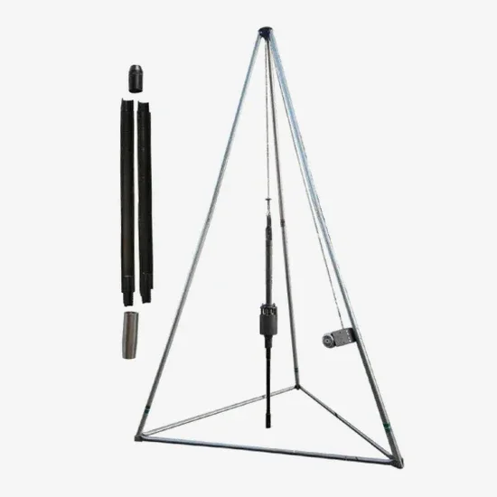
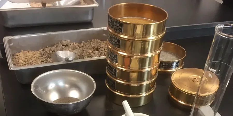
What we see repeatedly on Gloucester sites is that the standard 300 mm seating drive tells you more about the top of each stratum than the test itself. In the Mercia Mudstone weathered zone, the first 150 mm of penetration can be deceptively soft, then refusal hits abruptly once the unweathered rock is reached. Our technicians log this transition metre by metre, noting the change in cutting action and return water colour, because those details inform the geotechnical model far more than a single N-value alone. We run the split spoon sampler with a consistent 63.5 kg hammer dropping 760 mm, strictly following BS EN ISO 22476-3, and we pair the SPT log with grain size analysis when the recovered material suggests a gradation issue that might affect permeability or liquefaction susceptibility in the lower Severn Vale.
Standard Penetration Testing (SPT) in Gloucester: Reliable Subsurface Data for Geotechnical Design
Technical reference — Gloucester

Local geotechnical context

A six-storey mixed-use scheme on a former industrial plot near the canal encountered SPT blow counts of N=3 to N=6 in the upper 5 metres, sitting over dense gravels at depth. The initial concept assumed mass concrete pads, but the weak near-surface layer meant differential settlement would have exceeded tolerable limits for the steel frame. By mapping the N-value profile across five boreholes, the structural engineer was able to justify a ground-bearing raft solution with a design bearing pressure of 75 kPa instead of the 150 kPa originally assumed, saving the project from a costly piled alternative. Had the SPT data not been available, the risk of undetected soft lenses under isolated footings would have been significant. On Gloucester's alluvial soils, skipping the site-specific SPT investigation is simply not compatible with Eurocode 7's requirement for a Ground Investigation Report that reflects actual ground variability.

Need a geotechnical assessment?

Reply within 24h.

Email: contact@geotechnical-engineering1.com

Applicable standards

BS 5930:2015+A1:2020 — Code of practice for ground investigations, BS EN ISO 22476-3:2005+A1:2011 — Standard Penetration Test, Eurocode 7: BS EN 1997-2:2007 — Ground investigation and testing

Typical values

ParameterTypical value
Hammer typeAutomatic trip hammer, 63.5 kg
Drop height760 mm
SamplerSplit spoon, 50 mm OD
StandardBS EN ISO 22476-3:2005+A1:2011
Seating drive150 mm, logged separately
Test intervalEvery 1.5 m or at stratum change
Reporting metricN-value (blows/300 mm) after seating

Frequently asked questions

What depth of SPT borehole do I need for a standard housing development in Gloucester?

For typical two-to-three-storey residential schemes on Gloucester's river terrace gravels, we generally recommend boreholes to 10–15 metres depth. This captures the full gravel thickness, the underlying Lias Clay or Mercia Mudstone, and any soft alluvial pockets. NHBC Standards require that the ground investigation extends to a depth where the stress increase from the foundation is less than 10% of the original overburden pressure, which in practice means at least 1.5 times the building footprint width. On sites near the Severn floodplain, we often go deeper to check for buried channel deposits that can introduce differential settlement risk.

How much does an SPT investigation cost in Gloucester?

A typical SPT investigation in Gloucester with three boreholes to 10–15 metres, including mobilisation, drilling, sampling, logging, and a factual report, runs between £440 and £660 per borehole, depending on access conditions, depth, and the number of test intervals. The total project cost depends on the scope, but for a standard residential plot you should budget in that range per exploratory position. We can provide a fixed-price proposal once we review the site location and proposed foundation layout.

How do you handle SPT refusal in the Mercia Mudstone near Gloucester?

When refusal is reached — defined as 50 blows for any 150 mm increment — we switch from SPT sampling to core drilling to recover an intact rock sample. This transition is critical because the refusal depth becomes the key design parameter for pile socket length or for confirming that shallow foundations are viable on rockhead. We log the refusal depth, the drilling method change, and the rock quality designation (RQD) from the core run, all in accordance with BS 5930:2015.

What correlations do you use to derive bearing capacity from SPT N-values in Gloucester soils?

We apply the correlations recommended in BS 8004:2015 and the NHBC Standards, which relate SPT N-values to allowable bearing pressure for different soil types. For granular soils like the river terrace gravels, we use the relationship between N-value and friction angle proposed by Peck, Hanson, and Thornburn, then apply bearing capacity factors from Brinch Hansen. For cohesive soils like the Lias Clay, we convert N-values to undrained shear strength using the Stroud correlation (cu = f1 × N × pa), with the factor f1 calibrated to local experience. Every correlation is clearly stated in the interpretative report so the design team can review the assumptions.

Location and service area

We serve projects in Gloucester and surrounding areas.

View larger map