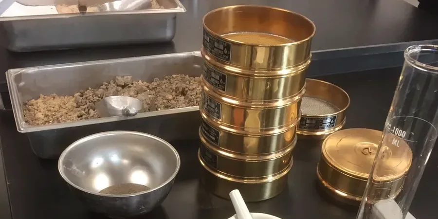
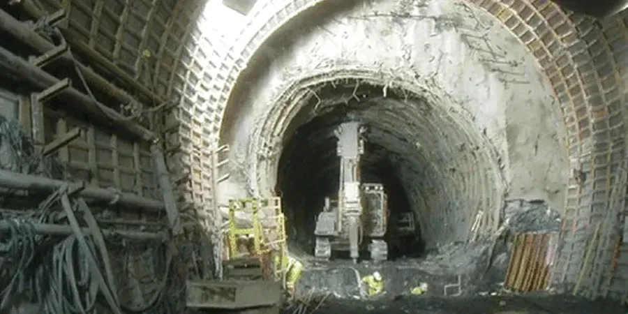
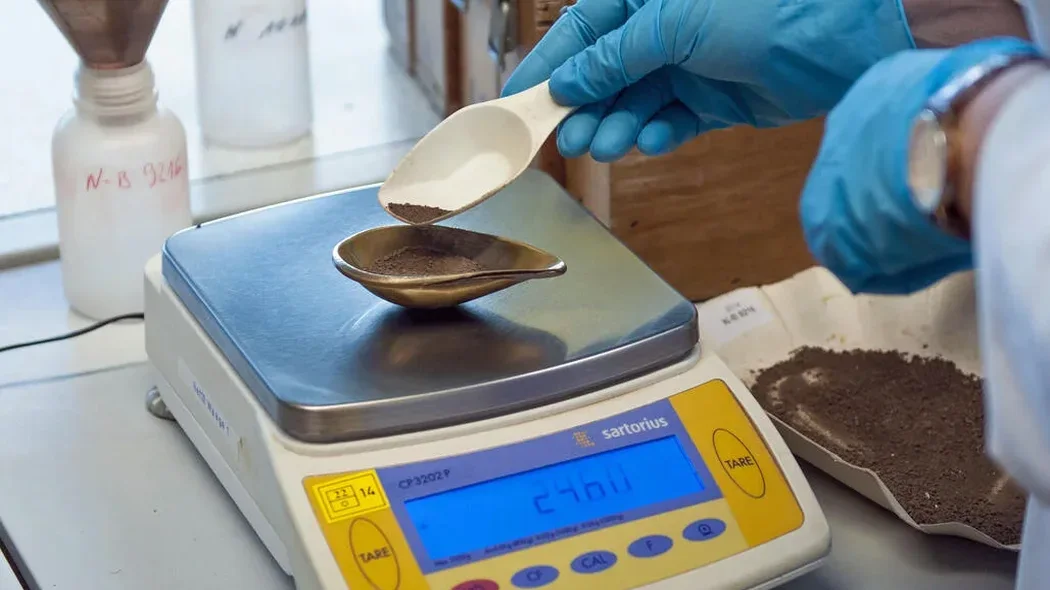
Gloucester’s development has always been shaped by its geology. The Romans settled here partly because the Severn Vale offered deep alluvial soils that were easy to work, but modern engineering on those same deposits demands precise characterisation. The city docks, excavated from Lias Clay and river gravels in the 1820s, demonstrated early on that grain size controls everything from dewatering rates to bearing capacity. Today, when a contractor encounters silty sand at Quedgeley or laminated clay near the Cathedral, the first step is a complete particle size distribution. Our laboratory runs combined sieve and hydrometer analysis to BS 5930, delivering the full grading curve needed for earthworks specification. For deeper investigation where disturbance is minimal, we often pair this with sondaje SPT in boreholes across the Cotswold fringe to correlate in-situ density with lab-derived gradation. The hydrometer fraction is critical here—Gloucester’s alluvium often carries 15–30% fines that control permeability and frost susceptibility.
A grading curve without hydrometer data in Gloucester’s alluvium misses the fines that govern consolidation time and drainage design.