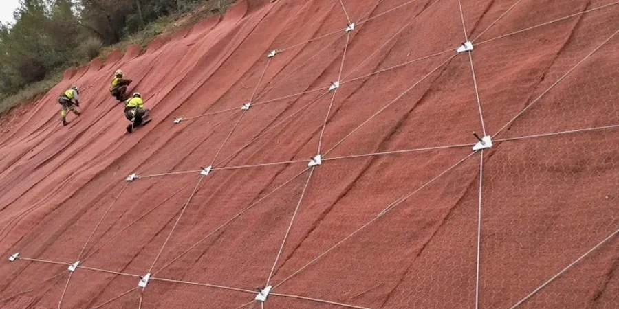
Gloucester’s development from a Roman river crossing into a modern city has always been shaped by its topography. The River Severn provides level ground, but the western edge rises sharply into the Forest of Dean and, to the east, the Cotswold escarpment introduces significant slope stability challenges. We see this on residential expansions around Robinswood Hill and infrastructure corridors cutting through the Lias Clay formations. A desk study alone won't capture progressive failure risk in these weathered mudstones. Our approach integrates test pits to map the shear surfaces in the overburden, then links the findings directly into limit equilibrium models calibrated to local pore pressure regimes.
In Gloucester's Lias Clay, the difference between a stable slope and a failing one is often just 2 degrees of inclination and a week of heavy rain.